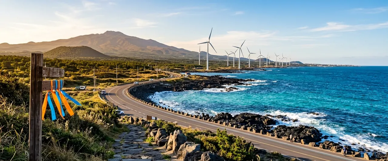
Jeju travel courses 10
The courses of Korea Tourism Organization TourAPI, stop by stop, with each stop's visit information.
By length
Day trip 10
4–6 stops
-

- 1Gwandeokjeong Pavillion (Jeju)Start
- 2Jeju-mok Government Office
- 3Dongmun Traditional Market
- + 2 more
- 6Iho Tewoo BeachLast
Areas- Jeju City · Airport
- Stops
- 6
- Straight line
- 7.7 km
Course from Korea Tourism Organization TourAPIPhoto: Gwandeokjeong Pavillion (Jeju) · Source: Korea Tourism Organization
-

- 1Hamdeok Beach (Hamdeok Seoubong Beach)Start
- 2Manjanggul Cave (Jejudo National Geopark)
- 3Bijarim Forest
- + 2 more
- 6Gwangchigi BeachLast
Areas- Jocheon · Gujwa
- Seongsan · Udo · Pyoseon
- Stops
- 6
- Straight line
- 35.3 km
Course from Korea Tourism Organization TourAPIPhoto: Hamdeok Beach (Hamdeok Seoubong Beach) · Source: Korea Tourism Organization
-

- 1Cheonjiyeon FallsStart
- 2Sojeongbang Falls
- 3Oedolgae
- 4Cheonjeyeonpokpo Falls
- 5Jungmun Saekdal BeachLast
Areas- Seogwipo City · Namwon
- Jungmun · Andeok · Daejeong
- Stops
- 5
- Straight line
- 17.5 km
Course from Korea Tourism Organization TourAPIPhoto: Cheonjiyeon Falls · Source: Korea Tourism Organization
-

Day trip
Course 4 Aewol and Hallim West Coast
- 1Handam Coastal TrailStart
- 2Gwakji Beach
- 3Hyeopjae Beach
- + 2 more
- 6Suwolbong PeakLast
Areas- Aewol · Hallim · Hangyeong
- Stops
- 6
- Straight line
- 23.6 km
Course from Korea Tourism Organization TourAPIPhoto: Handam Coastal Trail · Source: Korea Tourism Organization
-

- 1Saryeoni Forest TrailStart
- 2Jeju Jeolmul Recreational Forest
- 3Sangumburi Crater
- 4Bulgeun Oreum Natural Recreation ForestLast
Areas- Hallasan · Mid-mountain Area
- Jeju City · Airport
- Jocheon · Gujwa
- Stops
- 4
- Straight line
- 16.9 km
Course from Korea Tourism Organization TourAPIPhoto: Saryeoni Forest Trail · Source: Korea Tourism Organization
-

- 1Jeju National MuseumStart
- 2Jeju Contemporary Art Museum
- 3Bontae Museum
- 4Arte Museum JejuLast
Areas- Jeju City · Airport
- Aewol · Hallim · Hangyeong
- Jungmun · Andeok · Daejeong
- Stops
- 4
- Straight line
- 56.3 km
- Closed days
- 2 stops closed on Mondays
Course from Korea Tourism Organization TourAPIPhoto: Jeju National Museum · Source: Korea Tourism Organization
-

- 1Seongsan Ilchulbong Tuff ConeStart
- 2Udo Island
- 3Geommeolle Beach
- + 2 more
- 6Aqua Planet JejuLast
Areas- Seongsan · Udo · Pyoseon
- Stops
- 6
- Straight line
- 21.6 km
Course from Korea Tourism Organization TourAPIPhoto: Seongsan Ilchulbong Tuff Cone · Source: Korea Tourism Organization
-

- 1Ijungseop Art MuseumStart
- 2Ijungseop Street
- 3Seogwipo Maeil Olle Market
- + 2 more
- 6Jeongbangpokpo FallsLast
Areas- Seogwipo City · Namwon
- Stops
- 6
- Straight line
- 3.5 km
- Closed days
- 1 stop closed on Mondays
Course from Korea Tourism Organization TourAPIPhoto: Ijungseop Art Museum · Source: Korea Tourism Organization
-

- 1Osulloc Tea MuseumStart
- 2Camellia Hill
- 3Jeju Seogwipo Sanbangsan Mountain
- + 2 more
- 6Gapado IslandLast
Areas- Aewol · Hallim · Hangyeong
- Jungmun · Andeok · Daejeong
- Stops
- 6
- Straight line
- 24.3 km
Course from Korea Tourism Organization TourAPIPhoto: Osulloc Tea Museum · Source: Korea Tourism Organization
-

- 1Seongeup Folk VillageStart
- 2Pyoseon Beach
- 3Jeju Folk Village
- + 2 more
- 6Soesokkak EstuaryLast
Areas- Seongsan · Udo · Pyoseon
- Seogwipo City · Namwon
- Stops
- 6
- Straight line
- 43.9 km
Course from Korea Tourism Organization TourAPIPhoto: Seongeup Folk Village · Source: Korea Tourism Organization
The straight line is the sum of the straight-line distances between the stops' coordinates, given only for a course with coordinates for every leg.
Areas are this site's travel areas, taken from the stops that have a place page.
Each card's photo shows one stop of its course: the first one not already shown on an earlier card. Photos: Korea Tourism Organization · KOGL Type 1