Things to doHallasan · Oreum · Forests · FallsJeju, Seogwipo-si, Namwon-eup
5.16 Tree Tunnel (Road 5.16 Forest Tunnel)
In Korean: 5.16 도로숲터널
5.16 Tree Tunnel (Road 5.16 Forest Tunnel) is a forest road where evergreen and deciduous trees arch over the road for about 1.2 km, starting 2.6 km from Seongpanak Rest Area toward Seogwipo.
It is a section of the first national road opened on Jeju, and the road is narrow with many bends, so you need to drive slowly. You can pass through at any time for free, but there is no place to park.
Source: Korea Tourism Organization · KOGL Type 3 (no changes allowed) · 5 photos
5 photos ↓ · Source: Korea Tourism Organization · KOGL Type 3 (no changes allowed)
5.16 Tree Tunnel (Road 5.16 Forest Tunnel) before you go
Full bar = straight-line 2.0 km · Within 2,000 m · straight-line distance · Korea Tourism Organization TourAPI, Korea Tourism Organization GoCamping (TourAPI)
Photos: Korea Tourism Organization · KOGL Type 1, KOGL Type 3 (no changes allowed)
Which free, year-round nature and coastal sights can you visit in Jeju?
5.16 Tree Tunnel (Road 5.16 Forest Tunnel) FAQ
Can you park near 5.16 Tree Tunnel (Road 5.16 Forest Tunnel)?
You cannot park there. The road is narrow with many bends, which creates a risk of accidents, so pass through slowly.
Where does 5.16 Tree Tunnel (Road 5.16 Forest Tunnel) start?
It starts about 2.6 km from Seongpanak Rest Area in the direction of Seogwipo and continues for about 1.2 km. A sign stands at the north entrance to the forest road.
What does 5.16 Tree Tunnel (Road 5.16 Forest Tunnel) look like in each season?
Trees on both sides of the road cover the sky, so the road is shaded in summer. In autumn you can see fall foliage, and in winter a snow-covered forest.
Source: Korea Tourism Organization TourAPI
5.16 Tree Tunnel (Road 5.16 Forest Tunnel) sources
Photos
Korea Tourism Organization · KOGL Type 3 (no changes allowed)


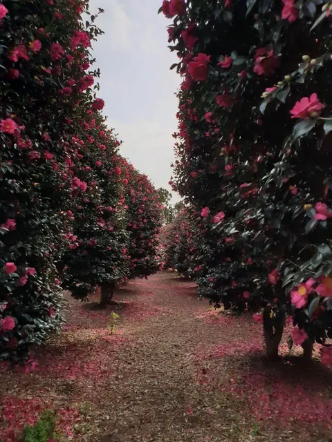 Dongbaek Foreststraight-line 1.6 km


 Damsoyostraight-line 1.7 km


